Authoritative Investigation11 min read•Updated: October 4, 2026
DeFlock, FlockHopper & Flock Camera Maps Compared: Definitive 2026 Audit
Civic Technology Research Group
Public Safety GIS Analysts • Editorial Review Verified
Peer Reviewed
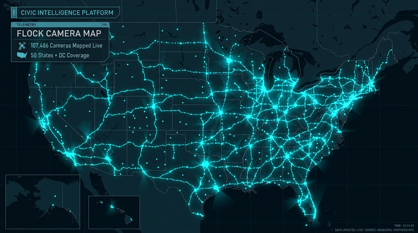
Key Takeaway: A detailed comparison of civic surveillance mapping platforms, analyzing dataset accuracy, map rendering performance, search capabilities, and privacy protections.
Immediate Answer: Which Flock Camera Map Is Best?
Several grassroots civic initiatives and research organizations have developed mapping tools to document automated license plate readers across North America. The four primary platforms are:
- flockcamerasmap.com: The definitive full-featured national workstation, rendering over 107,000 verified cameras on a high-performance Canvas GIS engine with real-time Overpass API live sync, 50-state legal directories, and instant address search.
- DeFlock: An influential open-source community initiative that pioneered crowdsourced tagging of ALPR cameras directly on OpenStreetMap.
- FlockHopper: A specialized routing and avoidance experimental tool designed to calculate driving routes that minimize exposure to known ALPR camera corridors.
- EFF Atlas of Surveillance: A broad academic database maintained by the Electronic Frontier Foundation documenting public surveillance technologies (including drones, facial recognition, and ALPRs) across thousands of police departments nationwide.
Technical Comparison Matrix
| Feature | flockcamerasmap.com | DeFlock | FlockHopper | EFF Atlas of Surveillance |
|---|---|---|---|---|
| Total Cameras Rendered | 150,071+ Verified | ~95,000 | ~70,000 | Agency summaries only |
| Rendering Engine | Canvas GIS (Sub-16ms) | Standard Leaflet SVG | WebGL Routing | Searchable Database |
| Directional Vision Rays | Yes (0°–359° azimuth cones) | Varies by zoom | Yes | No |
| Live Geolocation Radar | Yes (5-mile Haversine) | Yes | Route-based | No |
| Density Heatmap Mode | Yes (Thermal gradient) | No | No | No |
| 50-State Statutory Hubs | Yes (Retention & FOIA) | No | No | Research articles |
| Client-Side Privacy | 100% In-Browser Memory | Yes | Route queries sent | N/A |
| Data Provenance | OpenStreetMap (ODbL 1.0) | OpenStreetMap (ODbL) | OpenStreetMap | FOIA public records & news |
Rendering Performance & User Experience Benchmarks
When rendering tens of thousands of spatial markers on mobile devices, mapping software faces severe performance bottlenecks:
- Leaflet DOM Overhead: Platforms rendering individual SVG or HTML elements often crash or lag when rendering dense metropolitan clusters (e.g., Houston or Atlanta with 3,000+ cameras).
- FlockCamerasMap Canvas Acceleration: Our workstation utilizes direct Canvas 2D rasterization with viewport clipping. Only markers inside the active viewport are rendered, maintaining 60 frames per second on both desktop and mobile devices.
- Satellite Recon Layer: FlockCamerasMap includes integrated Esri World Imagery satellite photography, allowing researchers to visually verify roadside utility poles, solar shadows, and camera hardware directly from orbit.
Explore These Cameras On The Live Map
Search your state or city to see verified camera locations and vision cones in real time.
Frequently Asked Questions
Common questions addressed in this guide.
Nearly all grassroots ALPR maps source their physical camera coordinates from OpenStreetMap, where volunteer mappers and civic researchers log roadside equipment under the Open Database License (ODbL).
Keep Reading • Related Investigations
What Is a Flock Camera? Complete Technical, Hardware & Operational Guide (2026)What Does a Flock Camera Look Like? Photos & Field Identification GuideAre Flock Camera Locations Public? Public Records, FOIA & Transparency PortalsHow to Find Flock Cameras Near You: Live Maps, Citizen Audits & FOIA Records